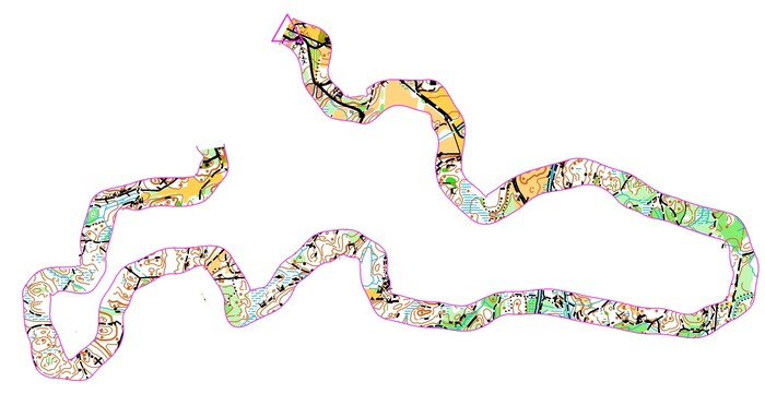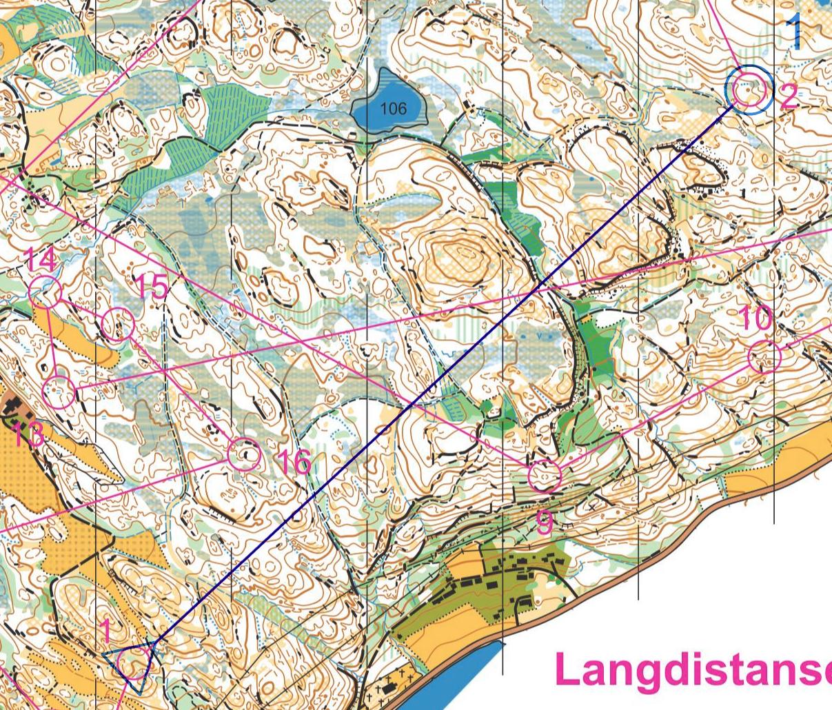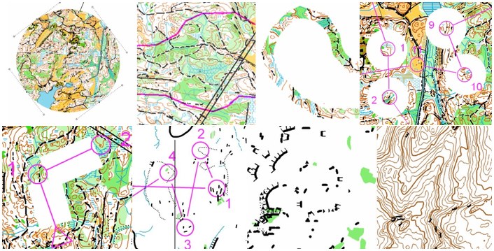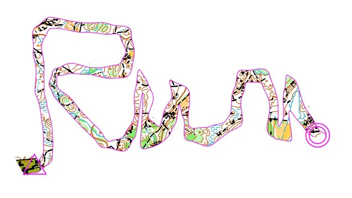
One of the best o-technical exercises for learning accurate map reading skills, is in my opinion Corridor Orienteering. As a bonus, the training can look very nice on the map as well. Corridor orienteering has existed as an o-technical exercise for many years ; earlier the corridor was made using a black covering pen – taking a lot of effort to make for a big group. Since OCAD and cheap color laser printers came around, you can make such a training in OCAD for 50 people in less than 10 minutes.
Read on for more thoughts about Corridor Orienteering – and a HowTo on how to make your own Corridor Orienteering exercises.
Training benefits
Using Corridor Orienteering you can force the athlete to use different techniques along the corridor due to the features available on the map inside the corridor. You can also make most terrains challenging – also terrains which the athlete has been in many times before. There are several other nice features about this type of training:
- It requires no controls in the forest
- The preparation time is short if you have access to OCAD and the OCAD file of the map
- The training lends itself very well to GPS analysis after the training
- As an athlete, you can make the corridor yourself without loosing much of the training effect (contrary to a normal course where you loose some effect due to map memory for route choices)
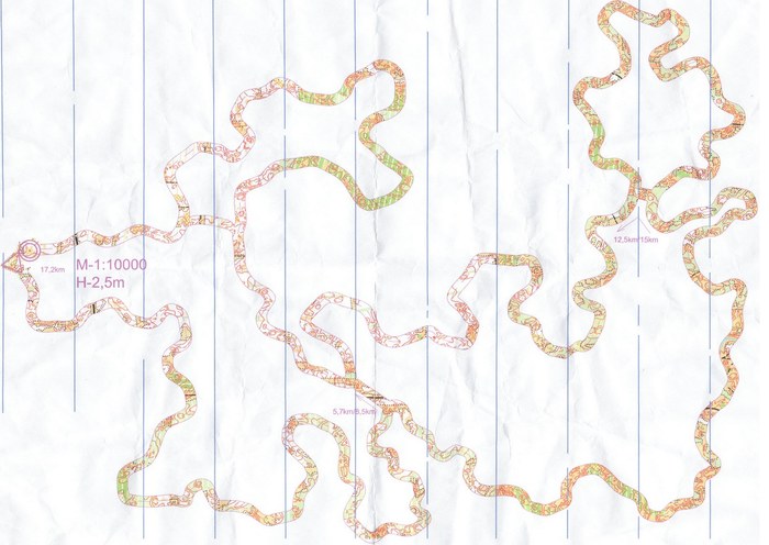
Aim of the exercise
The most important aim of the exercise is to learn accurate map reading, because the athlete is forced to know where he is and where he is going all the way along the corridor – as that is the only way to stay inside the corridor. Also, depending on how the corridor is made, the exercise may aim on forcing the athlete to use features in his orienteering which he usually does not use. In addition, straight parts can be used to train the athlete to keep the direction. Finally, this is also a good exercise to train on having a good flow in your orienteering – but that is only for elite orienteers.
Note that the athletes need to have a certain level to get full benefit of Cooridor Orienteering.
Training evaluation: GPS track
In my youth, I thought corridor orienteering training was boring. After the training, I never knew if I had performed well or not, and thus it was difficult to keep the motivation during the training. With the GPS evaluation you can use today, that has changed completely. Now the challenge is to keep your GPS track inside the corridor all of the way. Give yourself 10 push-ups extra for each time you are outside the corridor – and you’ll either get a good orienteer or strong arms…
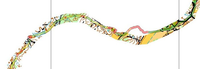
HowTo: How to make one yourself
There are several different ways to make a Corridor Orienteering exercise. Two different methods are described here – both using OCAD. It is also straightforward to make a Corridor Orienteering exercise in Photoshop or similar if you have not got the OCAD file of the map, but this is not described here. Using the first method, you can make a typical training in less than 10 minutes.


Resources in O-training.net
Corridor orienteering resources in O-training.net:
Have you made a nice Corridor Orienteering training? Or have you got other interesting ideas for orienteering technical exercises? Either contribute directly in o-training.net which is a wiki-style site for o-technical training content by requesting an account, or add a comment below.
