From O-training.net
Make orienteering maps for o-training
- How to generate an Orienteering training map from OpenStreetmap data
- How-to generate an Orienteering training map from LIDAR data
How-to generate an Orienteering training map from OpenStreetmap data
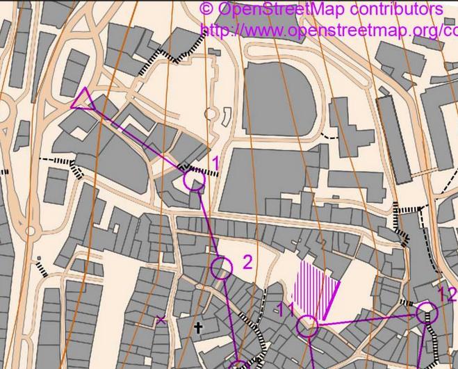
After posting orienteering maps made from OpenStreetmap data on his DOMA archive, people asked Kastensson how it was done. He therefore came up with a step-by-step instruction which is posted below. Credit: Jens Kastensson. Note that there is also an automatic web-based tool available here, but results are not that easy to personalize
1. Find an interesting area on http://www.openstreetmap.org
2. Download osm xml data for that area (Export | OpenStreetMap XML Data ) Hint: start with a small map, 1:2000 A4.
Here's a sample file: http://kastensson.se/OSM/map.osm
3. Download and install http://maperitive.net/ and read the instructions, in particular you will need to understand the concept of Rulesets. http://maperitive.net/docs/Rulesets.html
4. Download the sample ruleset orienteering.mrules file: http://kastensson.se/OSM/Orienteering-JEKA.mrules and copy it to your Maperative installation folder under Rules.
5. In Maperative, open the osm file that was downloaded in step 2.
6. In the Map Source tab lower right, uncheck "Web map"
7 Run these commands in Commander tab: use-ruleset location="<PATH>\Maperitive\Rules\Orienteering-Jeka.mrules" apply-ruleset Hint: next time you can load the rule from the menu
8. Run this command in Commander tab: generate-contours interval=5 export-svg map-scale=5000 file=output\StTrop-5000-5m.svg (It will export a 5m 1:5000 map in svg format)
9. The svg format is not supported by Condes which I use for course setting, I use Inkscape to transform to png. Download and install (free) Inkscape, In Inkscape open the svg file from previous step. The File | Export bitmap (be patient, it may take several minutes before the dialog appears) Enter bitmap size 300dpi and press Export.
10. Last but important step: the OpenStreetmap data is free to use under these conditions: http://www.openstreetmap.org/copyright It is required that you credit "© OpenStreetMap contributors" and add the copyright link http://www.openstreetmap.org/copyright.
How-to generate an Orienteering training map from LIDAR data
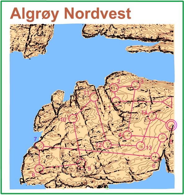
With the tool Karttapullautin you can automatically generate orienteering maps from LIDAR data. The tool is still under development, but delivers impressive results.
More information and download here: http://www.routegadget.net/karttapullautin/
Please Log in to contribute to O-training.net
O-training.net Blog articles:
- RouteChoice Challenge: Long decisive leg in Swiss Champs Long
- WebRoute: Route choice leg Canada
- 2DRerun: Two very WOC Middle relevant races
- EOC Long Final: GPS Analysis
- EOC Middle Final: GPS Analysis
- EOC Middle Qual: GPS analysis
- EOC 2012 GPS analysis: Warm up with training-analysis
- Excellent presentation about O-technical analysis (Norwegian)
- Camolyze Review: HeadCam analysis software
- Training Camp Time: Video-intro to 2DRerun!
Useful links:

