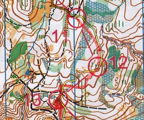
Draw routechoice and compare with GPS track
From O-training.net
Draw routechoice - Compare with GPS track
To use your GPS device optimally, you should:
- First draw your routechoice on the map without aid of the GPS device
- Afterwards upload your GPS track, and fit it to the map
- Compare the two and see if you were in control
This adds an extra dimension to your analysis as you can see if you really were in control all the way. The two lines don't lie...
Examples
- Gernot Kerschbaumber webpage - Austrian Champs Night 2009 [1]
